By Gordon C. Douglas
Journal of the American Planning Association
November 3rd, 2023
What is the significance of an atlas these days? Does it have any utility for planners? If an atlas is simply a collection of maps, then urban professionals work with them all the time, whether specialized parcel and zoning maps behind the counter, the many layers of spatial data now found at one’s fingertips digitally, or a trusty old Thomas Guide gathering coffee stains beneath the seat in an inspector’s pickup.
But there’s an additional layer to the contemporary atlas that makes them much more than a reference tool. The maps they collect are varied and carefully curated to contribute to a theme, and they contain critical commentary and analysis; they are as much works of art and prose as of cartography. Three recent books, strong examples of the form, demonstrate why planners and planning scholars should give them due attention.
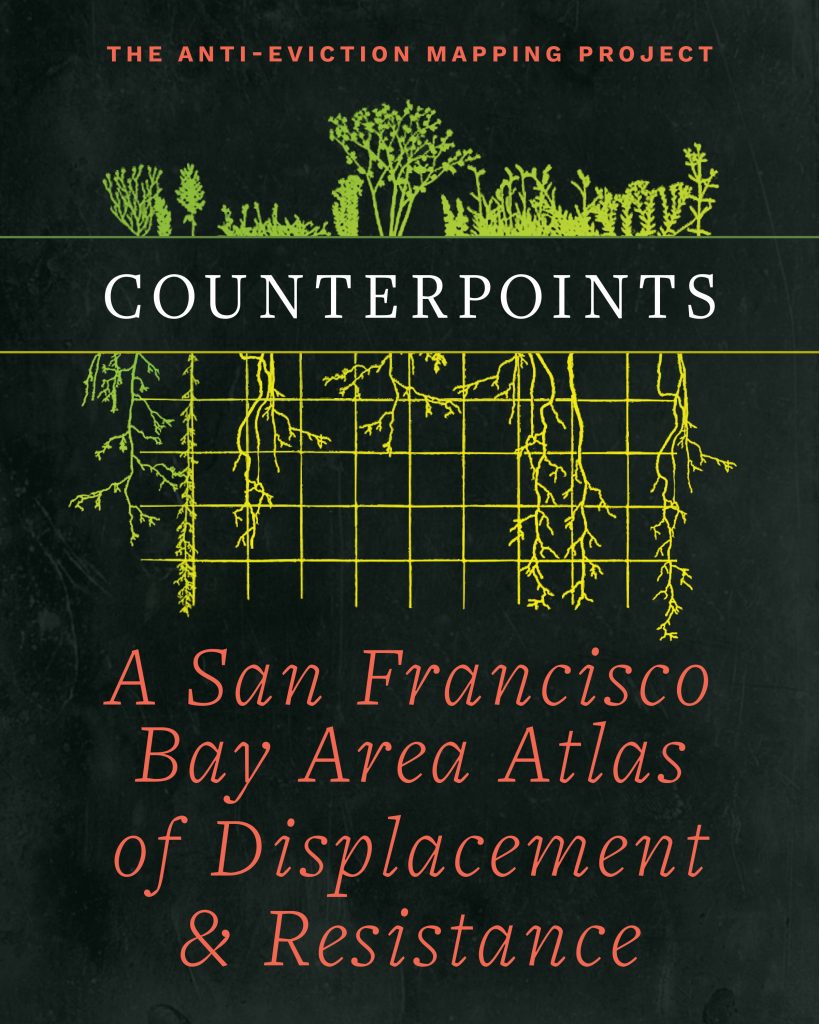
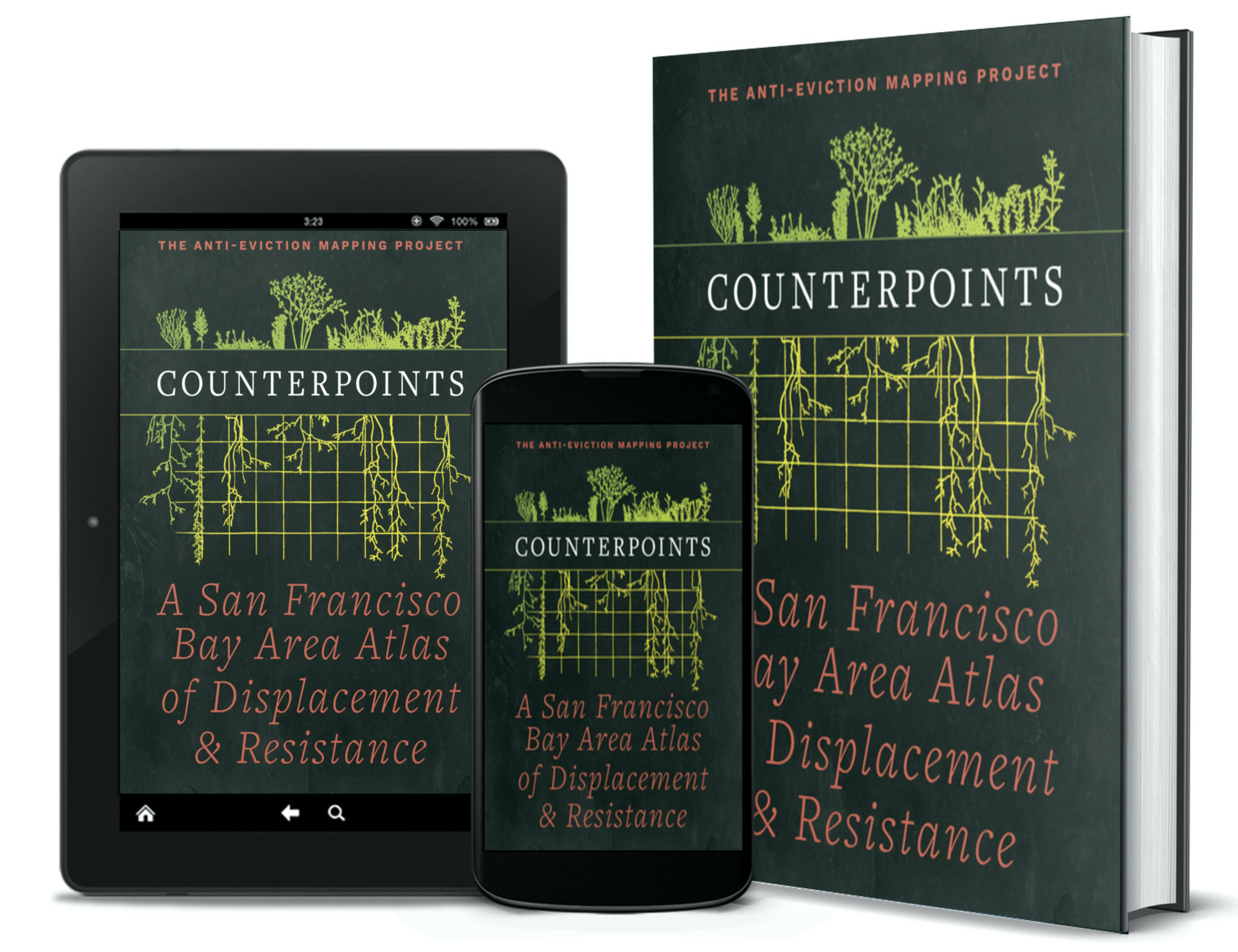
In Counterpoints: A San Francisco Bay Area Atlas of Displacement and Resistance, the spatial data activists of the California Bay Area’s Anti-Eviction Mapping Project (AEMP) assemble a powerful collection of essays, interviews, infographics, artwork, agitprop, photographs, and maps. The several dozen contributors, many of whom contribute in multiple ways, include graduate students and professors, organizers and tribal members, artists and technologists. There is a chapter on “Indigenous Geographies of Resistance” before there is one on “Transportation, Infrastructure and Economy,” and maps range from California’s Spanish mission system (“the first industrial prison complex”) to the relationship between school segregation and asthma rates in San Francisco. Erin McElroy and Mary Shi, the self-described “project wranglers,” write along with other AEMP members in the introduction that they “refuse normative relationships to the project of cartography” (p. xxiv). Indeed, Counterpoints is almost not an atlas at all, but it’s very much an atlas we need. Anyone working in the space of urban inequality and housing injustice, not only (but of course especially) in the Bay Area, will find so much of importance here.
Christof Spieler’s Trains, Buses, People: An Opinionated Atlas of US and Canadian Transit is perhaps more like a traditional atlas (or even textbook): An Island Press book written by a planning professional, it proceeds uniformly through every metro area in the United States and Canada with rail or bus rapid transit, is jam-packed with infographics and technical maps, and is utilitarian (if handsome) in presentation. Except that it is, as the title declares, opinionated. Spieler critically evaluates every system (there are 57, including San Juan, Puerto Rico), and concludes with a “Transit Agenda” that includes both universal and city-specific recommendations. Hammered home throughout is that transit is only successful when it goes where people are and takes them where they want to go; obvious as this is, plenty of systems fail at it. Frequency and system legibility seem to matter more than sexier topics of discussion like mode type. Fully updated to include the Canadian cities, this revised edition is comprehensive, compelling, and fun to read and look at. The only problem is one outside the author’s control: It’s glaringly clear in 2023 that this data-rich volume has already been made tragically out of date by the COVID-19 pandemic’s impacts on transit ridership in many cities. Here’s hoping American systems recover enough to face some of the capacity challenges and other inadequacies that Spieler identifies.
A final book takes the pandemic head on. The Quarantine Atlas: Mapping Global Life Under COVID-19 is a compilation of maps and essays edited by Laura Bliss of Bloomberg CityLab. The 65 homemade maps—solicited by CityLab from readers in 2020—really are a remarkable cultural record of the pandemic, as important and revealing as any archival or oral history. If some waver toward the intentionally humorous or sardonic, cynical little jokes and memes on paper, most are deeply personal even as they are socially relevant. Many are also beautiful, and are reproduced with great care in the book. It is striking just how strong the themes of walking and locality are in these maps, if little surprise to those of us who also walked their communities more and in different ways than ever before during the first year of societal shutdown. The scale of the maps is likewise telling, rarely stretching beyond a cartographer’s immediate neighborhood, or even the walls of their home or the inside of their head. The essays are mainly terrific too. A lovely piece by Jenny Odell is reminiscent of Rebecca Solnit’s socio-spatially embedded writing, taking readers into the geology and planning history of her Oakland neighborhood. Destiny Thomas connects the White supremacist violence that inspired the Black Lives Matter movement during that same spring of 2020 to her warning call to planners and urbanists: “Safe streets” are not safe for Black lives. It’s a critique of the too-rarely-critical voices of contemporary Eurocentric urbanism (CityLab included).
Books like these may not be of obvious utility to the average planner. Social scientists too may ignore the atlas as something less than academic. Yet, as Laura Bliss notes in her introduction to The Quarantine Atlas (p. xx), “maps are always subjective.” Even when produced by geographic information science from hard data, the cartographers choose what information to show us, leading our minds with the title and legend and frame. The atlases described here only take this further, combining carefully assembled visualizations of spatial data with pointed commentary to tell the stories and elevate the issues of the places and the people they map. Yes, they are subjective, but also illustrative, compelling, even evocative, in ways neither a single map nor a piece of prose can quite manage on their own. They make possible the placement of critical social, cultural, and political arguments into geography. And these are exactly the things we planners too often miss, or willfully ignore, no matter how much data at our disposal or how big the map in front of us on the counter.
Additional information
Notes on contributors
Gordon C. C. Douglas
GORDON C. C. DOUGLAS is an associate professor of urban and regional planning at San José State University, where he serves as director of the Institute for Metropolitan Studies. He is the author of The Help-Yourself City: Legitimacy and Inequality in DIY Urbanism (Oxford, 2018), a book that does not contain any maps.